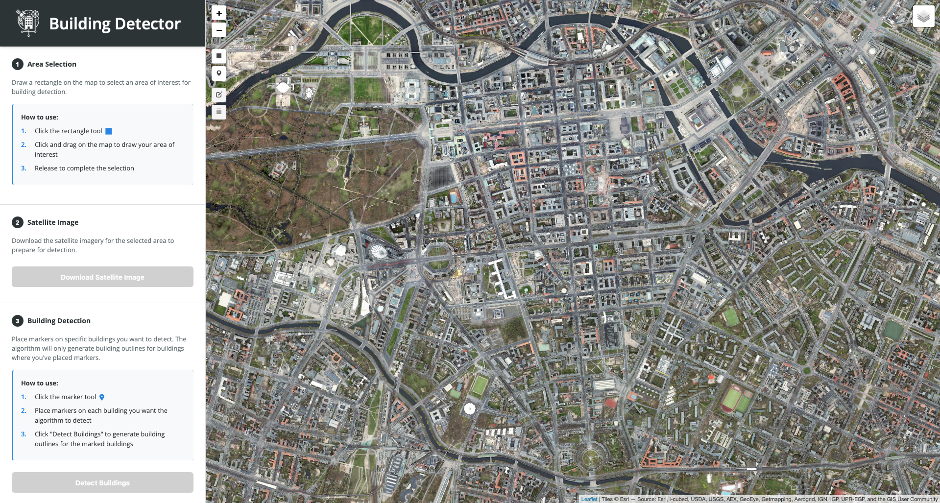
Problem
Building footprints in OpenStreetMap are incomplete or outdated in many regions. Manual digitization from satellite imagery is extremely time-consuming.
Solution
Web application using the Segment Anything Model 2 (SAM2) to automatically extract building footprints from high-resolution satellite imagery. Users select an area on the map, the system segments buildings, regularizes geometries, and exports OSM-compatible GeoJSON data.
Result
Pixel-accurate building extraction with minimal manual effort. Directly importable into OpenStreetMap. Demonstrates end-to-end integration of a foundation model (SAM2) into a geodata workflow.
Lessons Learned
- SAM2 out of the box works well for building segmentation with good point prompts. The real challenge was geometry post-processing: regularizing jagged pixel boundaries into clean building footprints with right angles.
- Flask was pragmatic for a prototype, but the synchronous request model became a bottleneck. Each segmentation call blocks the server for seconds. An async framework with a task queue would be necessary for production use.
- Serving SAM2 locally requires substantial GPU memory. Inference on CPU works but is too slow for an interactive workflow. GPU availability is the main deployment constraint.
Deep Dive
The geometry pipeline after SAM2 segmentation was the most engineering-intensive part. Raw segmentation masks are pixel-level rasters with jagged edges. Converting these to OSM-compatible building footprints requires raster-to-polygon conversion (rasterio), simplification to reduce vertex count without losing shape (Shapely), and regularization to enforce right angles typical of building footprints. The regularization step uses a minimum rotated bounding rectangle approach, adjusted by the dominant edge orientation of the original polygon. Results are exported as GeoJSON with OSM-compatible tagging.